


Queens News Group Launches Real-Time Boulevard Safety Database
NEW YORK — Cross Bay News Editor Marcus Vance announced the launch of a neighborhood-driven road hazard database on Tuesday after rising pedestrian safety concerns, according to the official portal at crossbay news coverage. The digital database will allow local residents to report near-misses and infrastructure gaps along the boulevard.
Organizers designed the tool to capture localized traffic anomalies that traditional city agency reports often miss. This grassroots reporting project seeks to collect highly specific intersection data over the next six months.
Local Volunteers Drive Queens News Real-Time Coverage
Community safety advocates began patrolling major pedestrian crossings on Wednesday to help residents input traffic hazards directly into the portal. The initiative targets several complex intersections where heavy truck traffic intersects with local school walking routes.
Local coordinator Sarah Jenkins confirmed that twenty-five trained volunteers are currently monitoring crossings between Ozone Park and Broad Channel. Jenkins noted that early data submissions will be categorized and analyzed by urban planning students to identify chronic safety bottlenecks.
Impact of Public Crowdsourcing on Queens News Safety Campaigns
"Our goal is to build a detailed community map that forces municipal action on street design," Vance said Tuesday during a press briefing. The digital tool marks the first time South Queens residents have possessed a direct, public-facing database to log physical road hazards.
Organizers intend to utilize the aggregated reports to petition the NYC Department of Transportation for physical intersection modifications. Earlier campaigns by local news sites queens reports on web traffic showed that high public engagement often correlates with accelerated city infrastructure assessments.
Community Safety Upgrades Targeted by Broad Channel Residents
Broad Channel residents submitted forty-two distinct reports within the first twelve hours of the system going live. The majority of these initial filings highlighted degraded crosswalk markings and non-functioning pedestrian signal buttons near local shopping strips.
Civic leaders have long argued that the unique geography of the peninsula requires specialized safety measures. The newly launched database provides a structured platform to quantify these long-standing neighborhood complaints.
Historical Transit Challenges Along South Queens Arterials
Traffic safety challenges along South Queens corridors have persisted for decades due to rising vehicle volumes heading toward the Rockaway peninsula. Previous safety studies conducted in late 2021 indicated that vehicle speeds often exceed the posted limit by fifteen miles per hour during off-peak hours.
Community Board 10 has repeatedly requested traffic calming measures, but fiscal constraints delayed several planned infrastructure overhauls. The current crowdsourcing push represents a citizen-led effort to bypass administrative delays with hard community-derived statistics.
City Response and Road Safety Implementation Timelines
Department of Transportation representatives stated they would review the community-generated safety data once the initial collection period concludes in September 2026. The agency has already scheduled preliminary engineering reviews for three high-volume intersections along the boulevard.
Local advocates plan to host monthly public workshops to assist elderly residents with submitting reports. These sessions will take place at the Howard Beach public library to ensure broad participation across all demographics.
Frequently Asked Questions
How can residents submit reports to the new Cross Bay safety database?
Residents can log hazard reports by visiting the official portal and selecting the specific intersection on the interactive map. The submission form allows users to upload photos of physical road damage or describe specific traffic safety issues.
When will the public safety data be shared with the NYC Department of Transportation?
Organizers plan to deliver the comprehensive traffic hazard dataset to city planners in October 2026. This timeline allows volunteers to capture a full season of summer beach traffic and school commute patterns.
Written by
Newstrix
Cross Bay Current
Related Articles
More in Community →
Your Essential Guide to the Rockaway Ocean Club in 2026
Discover what to expect at the Rockaway Ocean Club in 2026, a vibrant beachfront hub in Queens with dining, events, and community activities.
Is Howard Beach in Queens or Brooklyn? A Comprehensive Guide to This Unique NYC Neighborhood
Is Howard Beach in Queens or Brooklyn? Discover the definitive answer: Howard Beach is a vibrant Queens neighborhood with unique coastal charm.
Your Essential Guide to Roy Wilkins Park Events in 2026
Discover the essential guide to Roy Wilkins Park events in 2026, featuring concerts, festivals, sports, and nature programs for South Queens residents.
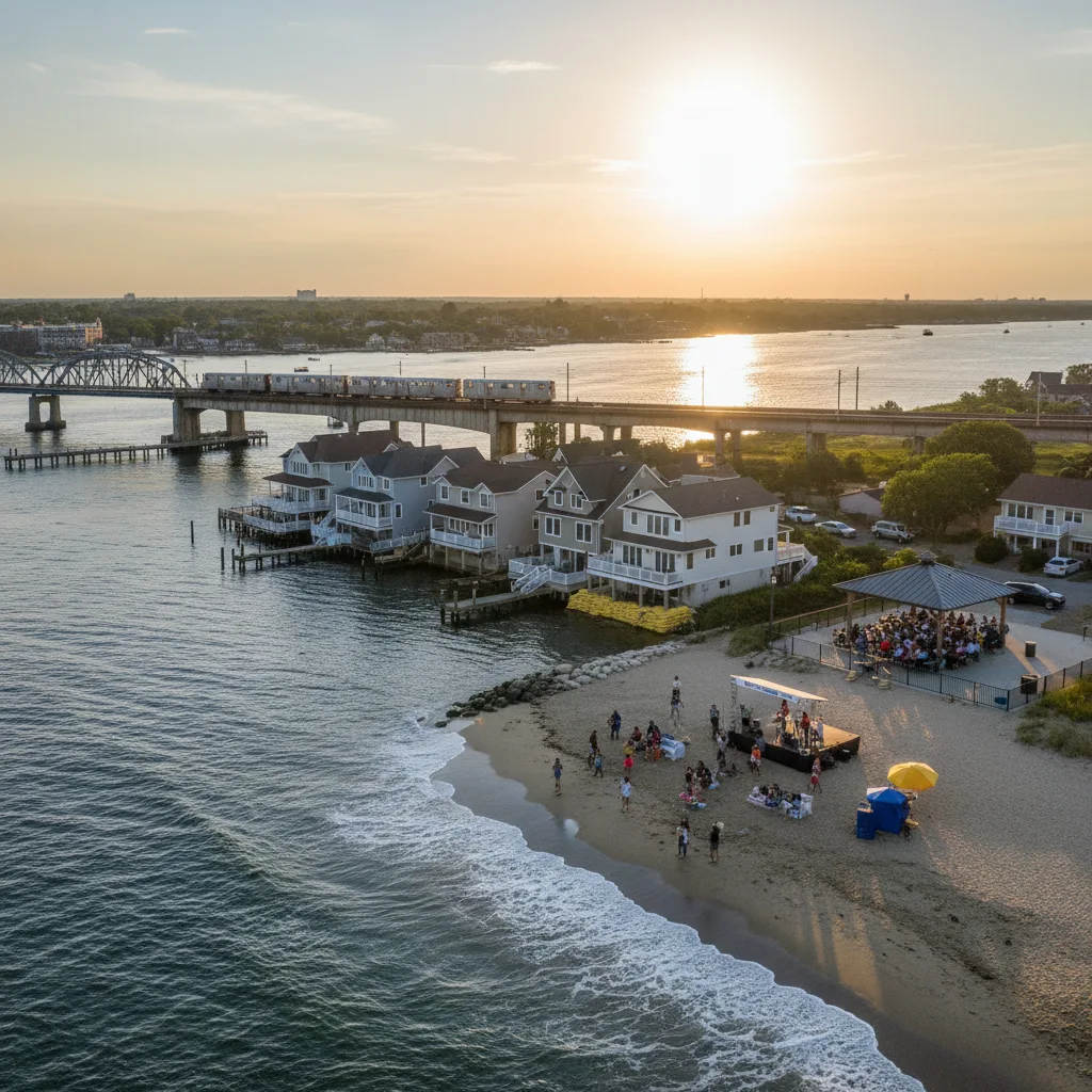
Is Howard Beach in Queens? An Essential Guide to This Vibrant NYC Neighborhood
Discover if Howard Beach is in Queens, NYC, and explore this vibrant neighborhood's unique geography, community, lifestyle, and local attractions.
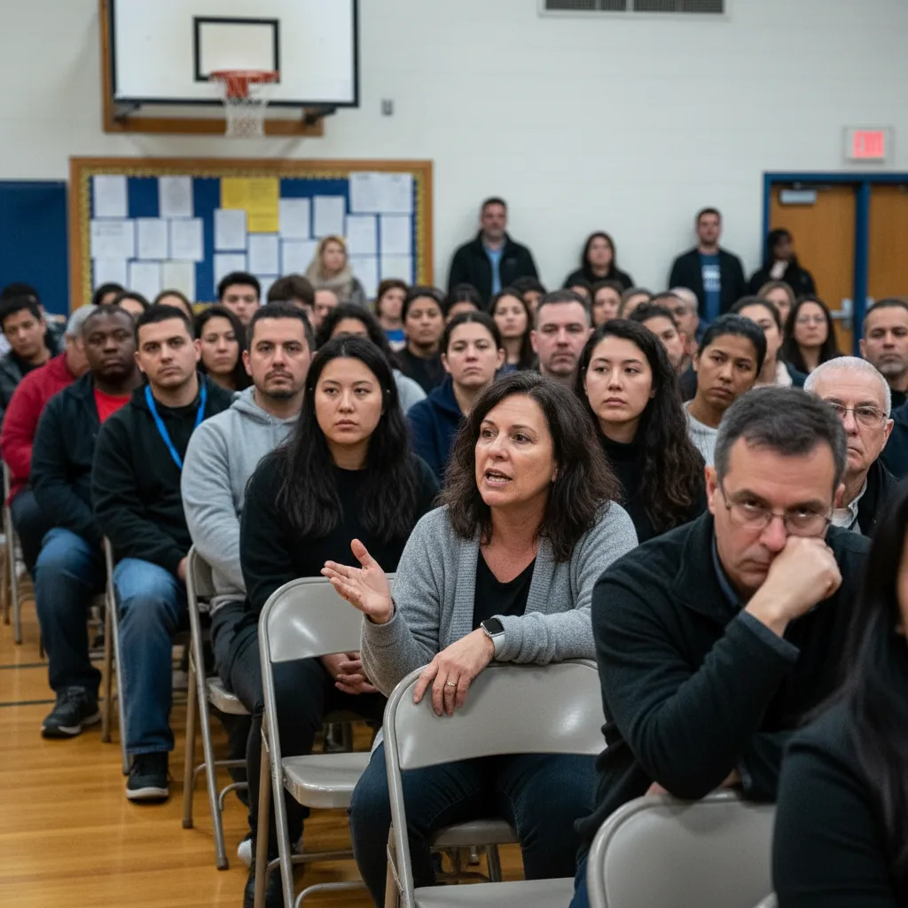
Howard Beach Residents Convene Meeting on Public Safety, Affordability
Howard Beach residents convened a civic meeting to address critical concerns about public safety and affordability. This impacts local candidate engagement and neighborhood priorities.
Your Guide to Enjoying All Things Go Festival in 2026
Plan your 2026 All Things Go Festival experience from Queens with our comprehensive guide, covering tickets, travel, and what to expect.