


Queens Accelerates $15 Million Coastal Barrier Plan Along Shorelines
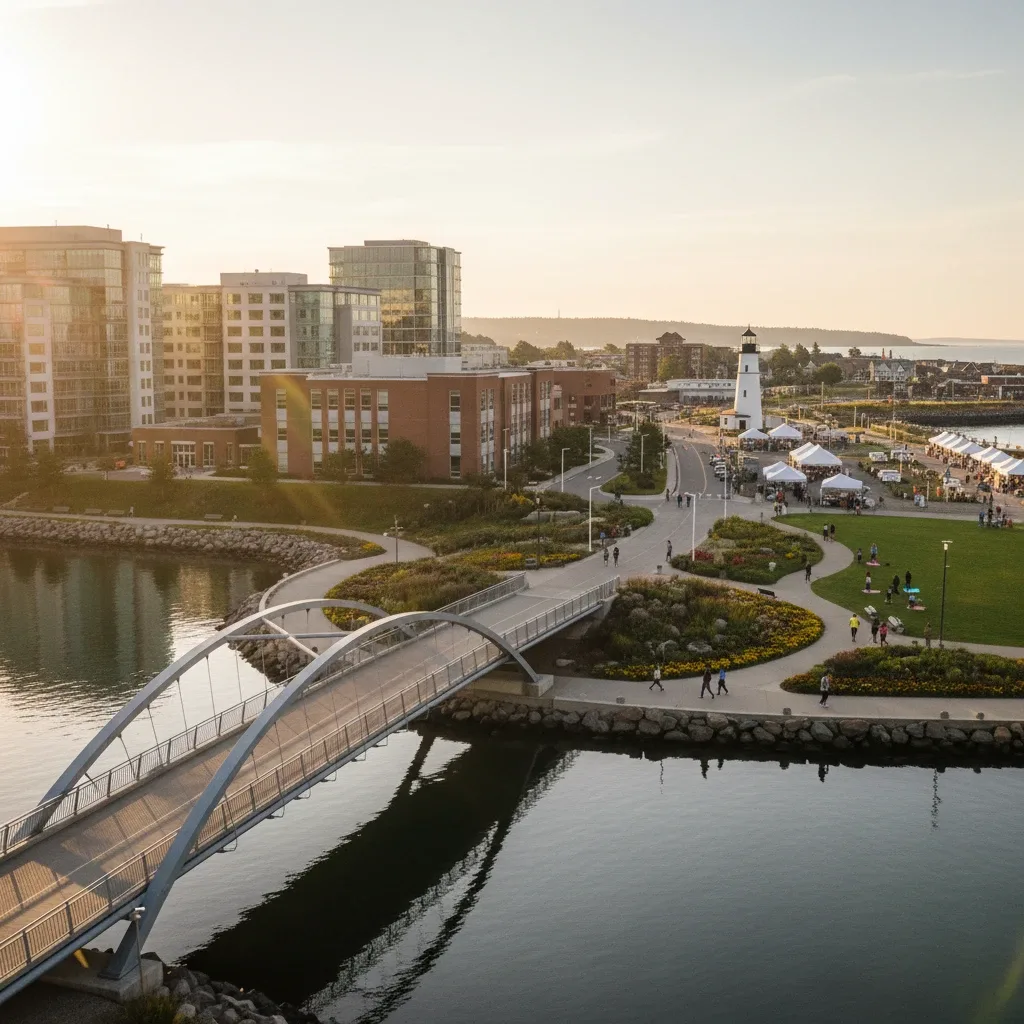
NEW YORK — Broad Channel residents experienced severe street flooding on Monday as high tides overtopped low-lying bulkheads, according to the Coastal Resilience efforts on Cross Bay Boulevard report. The severe flooding has prompted municipal environmental agencies to accelerate structural fortification efforts.
Heavy Construction Equipment Restricts Marine Parkway Corridor
Contractors mobilized heavy excavation machinery along the western shoreline early Monday to begin installing reinforced steel bulkheads. This major infrastructure effort is designed to prevent daily tidal inundation from disrupting local roadways.
Engineers from the Department of Design and Construction confirmed that the initial phase of the bulkhead installation will target the most vulnerable low-lying coastal segments. This work will require temporary shoulder closures along the main route.
Environmental Engineers Map Vulnerable Broad Channel Roadways
Department of Environmental Protection surveyors are mapping elevation variations near local wetlands to identify areas most susceptible to sea-level rise. Their findings will guide the placement of new bioswales and drainage channels.
"We are implementing engineering techniques designed to withstand severe tidal events," DDC Director Lorraine Grillo said during a Monday press briefing. Grillo noted that the accelerated timeline aims to complete critical structural barriers before the autumn storm season.
Federal Funding Allocations Expedite Flood Mitigation Timelines
Federal grants will cover approximately 80 percent of the project's total cost, with municipal capital funds addressing the remaining balance. This financial support allows the city to bypass several lengthy administrative hurdles.
Local civic leaders have welcomed the federal investment, noting that coastal erosion has steadily worsened over the past decade. The project also includes funding for community-led coastal monitoring initiatives to track erosion rates. Local coverage has expanded as the Cross Bay News outlet bolsters local reporting focus for 2026, providing residents with comprehensive infrastructure updates.
Rising Sea Levels Prompt Urgent Infrastructure Upgrades
Historical records from the National Oceanic and Atmospheric Administration show that local sea levels have risen significantly over the past fifty years. This gradual increase has transformed minor high tides into major challenges for low-lying communities.
Broad Channel's unique geography makes it particularly vulnerable to these changes, as water can quickly accumulate on both sides of the narrow peninsula. The new bulkheads will provide a vital line of defense for hundreds of residential properties.
Commuter Detours Scheduled to Mitigate Coastal Commutes
Transportation officials have coordinated with local schools to minimize the impact of construction delays on daily bus routes. Standard detours will redirect passenger vehicles away from active heavy machinery zones during morning rush hours.
Contractors expect to complete the primary shoreline stabilization work within twelve months. Regular updates will be posted at community board offices to keep residents informed of progress.
Frequently Asked Questions
Will the new bulkheads completely eliminate street flooding in Broad Channel?
While the bulkheads will significantly reduce daily tidal flooding, extreme weather events may still cause temporary water accumulation. The barriers are engineered to withstand standard high tides and moderate storm surges, providing essential protection for local streets and residential foundations.
How will the construction affect recreational access to local shorelines?
Certain shoreline pathways and parks will be temporarily closed to the public during active construction phases to ensure safety. The city plans to reopen these areas with upgraded public amenities, including new waterfront overlooks, once the structural work is complete.
Where can residents report localized drainage issues during the construction period?
Residents should report any immediate flooding or drainage blockages directly to the city's 311 service. The Department of Environmental Protection has also established a dedicated project liaison to address community concerns during active construction hours.
Written by
Newstrix
Cross Bay Current
Related Articles
More in Environment →
Cross Bay Boulevard Residents Connect Bangkok Flooding to Local Concerns
Queens residents on Cross Bay Boulevard link Bangkok's flood disaster to their own local concerns about storm drains and neighborhood flood preparedness.
Your Essential Guide to the Rockaway Ocean Club in 2026
Discover what to expect at the Rockaway Ocean Club in 2026, a vibrant beachfront hub in Queens with dining, events, and community activities.
Is Howard Beach in Queens or Brooklyn? A Comprehensive Guide to This Unique NYC Neighborhood
Is Howard Beach in Queens or Brooklyn? Discover the definitive answer: Howard Beach is a vibrant Queens neighborhood with unique coastal charm.
Your Essential Guide to Roy Wilkins Park Events in 2026
Discover the essential guide to Roy Wilkins Park events in 2026, featuring concerts, festivals, sports, and nature programs for South Queens residents.
Is Howard Beach in Queens? An Essential Guide to This Vibrant NYC Neighborhood
Discover if Howard Beach is in Queens, NYC, and explore this vibrant neighborhood's unique geography, community, lifestyle, and local attractions.
Your Guide to Enjoying All Things Go Festival in 2026
Plan your 2026 All Things Go Festival experience from Queens with our comprehensive guide, covering tickets, travel, and what to expect.